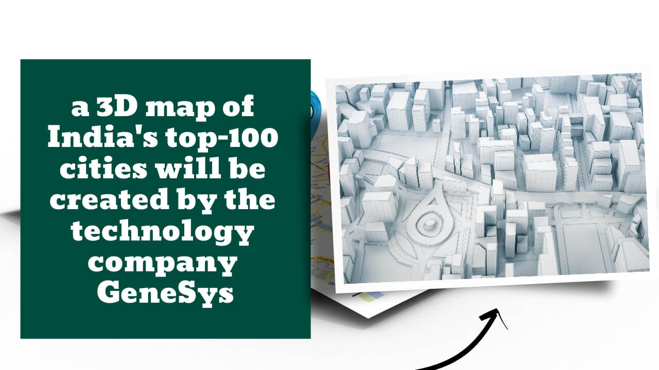
For its pan-India mapping project, Genesys plans to create a 3D map of the country’s top 100 cities. Amitabh Kant, the CEO of Niti Ayog, launched the mapping platform “Digital Twin” in India. For those who prefer a freemium model, it will be available for a fee.
Key Highlight:
- Genesys plans to create a 3D map of the country’s top 100 cities and share it with users and businesses on a licensing basis.
- For those who prefer a freemium model, it will be available for a fee.
- Amitabh Kant, the CEO of Niti Ayog, launched the mapping platform ‘Digital Twin’ in India.
An Indian technology firm has announced plans to create a 3D map of the country’s top 100 cities and share it with users and businesses on a licensing basis.
Genesys Chairman and Managing Director Sajid Malik said the company has the capacity to finish the project for 100 cities in 18 months without providing an exact timeline for completion of the mapping.
“Our 3D mapping technology has cost us Rs 200 crore to date. Residents of the country will be able to access these maps in the upcoming fiscal year. We’re considering offering it on a freemium basis, in which case it will be available for both free and a fee “Malik was quoted as saying.
Niti Ayog CEO Amitabh Kant launched the company’s mapping platform ‘Digital Twin’.
He said that the government’s new geospatial policy demonstrates the importance of map content and technology in the future growth of the Indian economy, which he expects to bring enormous buoyancy to the country’s economy.
“For the first time, highly accurate digital 3D maps will be available that depict reality exactly as it is thanks to the Genesys Digital Twin content program. Many new businesses, both for-profit and nonprofit, stand to gain from this initiative “Kant stated this.
For the future of augmented reality and growth opportunities, the 3D maps will be key.
Because we’ll have mapped the entire city with our digital twin platform, Malik predicts that India’s map-reading culture will undergo a sea change.
At high speeds and with high-resolution imaging capabilities, Genesys claims to have a constellation of advanced sensors in India.
With the advent of accurate 3D data, a wide range of previously unimaginable uses for high-definition mapping will be made possible, including smart cars, e-commerce, logistical planning for the next generation of telecom networks, renewable energy, and emergency response and disaster management.


[…] India’s top 100 cities will be visualized in 3D by Genesys,… […]