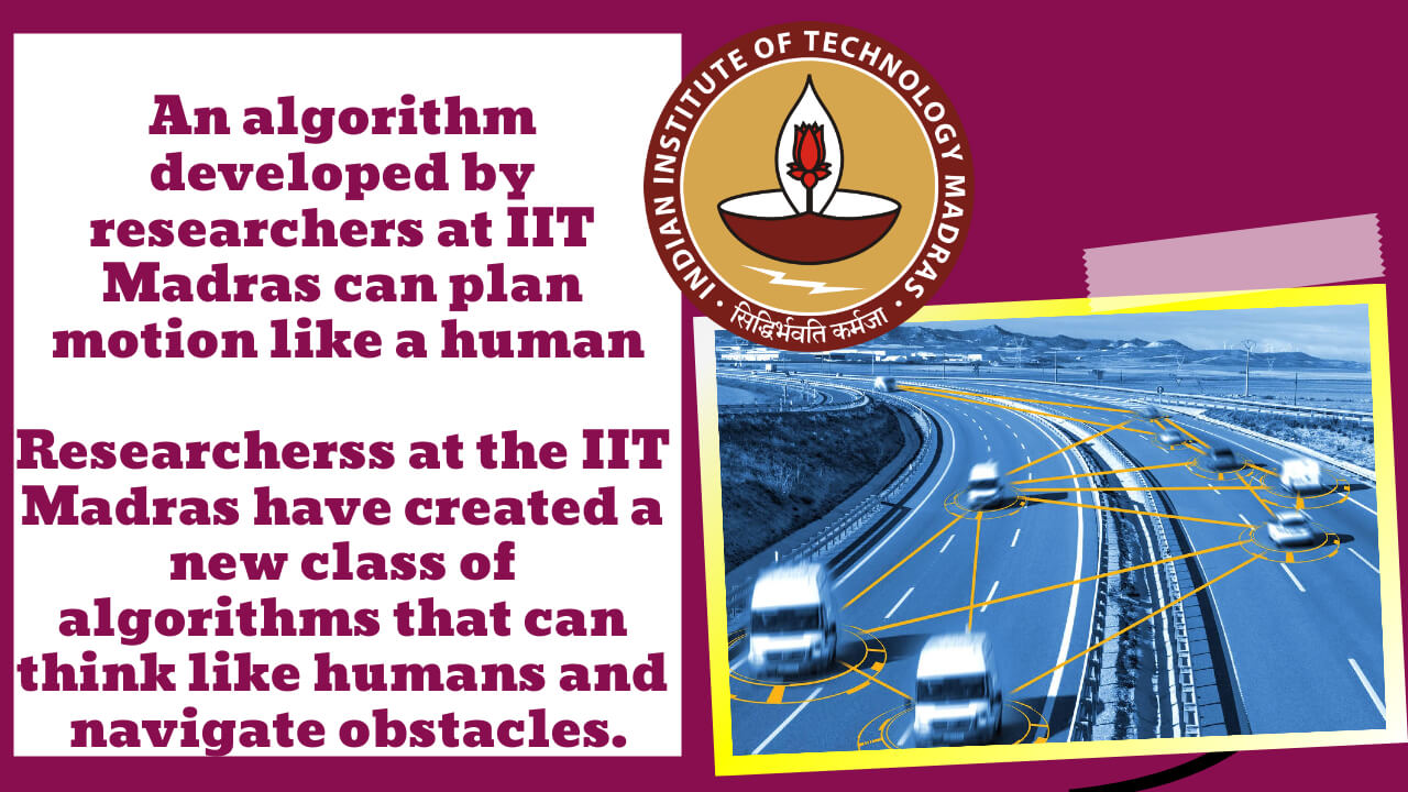
Researchers at the Indian Institute of Technology, Madras, have developed a new class of algorithms that are both fast and efficient. In this way, these algorithms can think like humans and help autonomous aerial, ground, or surface vehicles navigate through obstacle-filled environments as a natural person would. Based on the new idea of ‘Generalized Shape Expansion’ (GSE).
People who work at IIT Madras say that drones with “motion planning” algorithms can help disaster management and response. Researchers are also planning to use these algorithms on unmanned aerial and ground vehicles shortly, but this isn’t the end. The team is only working on the algorithms based on the GSE. They are only working on the algorithms’ theory.
Key Highlight:
- The Indian Institute of Technology (IIT) Madras has developed a class of efficient’motion planning’ algorithms that can think like humans and negotiate obstacle-filled settings.
- The algorithms are based on a revolutionary concept called “Generalised Shape Expansion” (GSE) that allows autonomous cars to predict a safe and dynamically viable trajectory.
- This enhances exploration speed and requires only a few rounds of a GSE-based algorithm to connect the initial and objective regions.
- “Drones equipped with our algorithms can be of substantial assistance during disaster management and response situations,” stated Satadal Ghosh, Assistant Professor, Department of Aerospace Engineering, IIT Madras.
- The researchers hope to use these algorithms on unmanned aerial and ground vehicles soon.
Motion planning algorithms that think like humans have been developed by scientists at the Indian Institute of Technology (IIT), Madras. These algorithms are fast and efficient, and they can help autonomous aerial, ground, or surface vehicles navigate obstacle-filled environments.
The team’s algorithms are based on a new concept called “Generalized Shape Expansion” (GSE). This allows autonomous vehicles to plan a safe and dynamically feasible path.
It has been found that these methods are better than many of the existing seminal and cutting-edge motion planning algorithms.
The team said it calculates the ” safe ” area because it calculates the “safe” area. It is a big help in time-critical planning situations like self-driving cars, disaster response, ISR operations, aerial drone delivery, and planetary exploration.
IIT Madras Assistant Professor Satadal Ghosh is in charge. His research has been published in high-quality journals and conferences worldwide, including AIAA Journal of Guidance, Control, and Dynamics, IEEE Control Systems Letters, and American Control Conference (ACC). These are all top-notch conferences.
Vrushabh Zinage, Adhvaith Ramkumar, and Nikhil P are all former students of IIT Madras. Zinage is a PhD student at the University of Texas Austin, and Ramkumar is a graduate student at Warsaw University of Technology in Poland.
The GSE-based algorithms work by figuring out a “safe” area of the environment that includes large, “visible” parts that make it easy to get around. Following this, the algorithms pick a random point in this “visible” area and connect it through a safe “edge” to the safe areas that have been found so far. Eventually, the algorithms will be able to connect any two points in any environment, which meets a few basic rules.
The researcher said that the main advantage of GSE-based algorithms is that they are much faster than other well-known motion planning algorithms.
This means that the GSE-based algorithms can be very useful in applications where planning is essential.
Adhvaith Rajkumar: “Instead of using heavy-duty collision-checking modules, these algorithms use the new concept of “generalized shape,” which gives a maximum representation of the free space that can be reached from a given point in the environment. This is almost like updating a person’s perception of the “safe” space to move through around him or her.”
This, in simple terms, increases the speed with which the environment can be explored, which leads to only a few iterations of a GSE-based algorithm being needed to connect the start and finish points.
When Satadal Ghosh, an assistant professor at IIT Madras, talked about the applications of the “motion planning” algorithms, he said, “Drones equipped with our algorithms can be very useful in disaster management and response.” In the aftermath of a disaster like an earthquake, drones are often used to survey the area and look through debris for people who need to be found. When UAV paths need to be planned ahead of time in a time-critical way, our algorithms can play a big part.
“GSE-based algorithms can be used in a wide range of autonomous applications, such as warehouse material movement, project commissioning inspections, drone delivery, disaster management, self-driving cars, and so on.” For planning coordinated moves in a group of vehicles, these algorithms could also be used, he said.
If this research isn’t done by now, it’s only going to focus on the theory behind GSE-based algorithms and how they work in real-world scenarios to make sure they work.
These algorithms will be used on unmanned aerial and ground vehicles in the near future, as well.
If you only have information from on-board sensors or mission commands get in the way of vehicles’ movements because of changing mission-critical needs, like Intelligence, Surveillance, and Reconnaissance (ISR) operations or planetary exploration with rovers, you’ll need to change your plans for movement a lot.
Because the visible areas calculated by our GSE-based algorithms are unique at different points in the environment, our study shows that on-the-go motion planning is much easier with these algorithms, Ghosh said.


